Across the UK, construction projects are under constant pressure to improve safety, control costs, record progress and make faster decisions based on accurate site data. Traditional inspections are still important but often require scaffolding, MEWPs, rope access, shutdowns or multiple visits to difficult or risky areas.
At AUAV UK we help construction, infrastructure and asset management teams improve project visibility through drone asset inspection in the UK, as well as drone mapping, Drone LiDAR, roof inspections and aerial photography. They enable safer access to hard-to-reach locations, while providing accurate data for planning, reporting, quality and compliance, and long-term asset management.
Drone inspections for construction projects can help teams:
- Record repeatable visual and spatial.
- Avoid working at height where you can.
- Find visible defects and site changes earlier.
- Improve communication among project stakeholders.
- Workflow support for BIM, reporting, planning and maintenance.
- Inspect roofs, facades, infrastructure and other difficult to access assets.
In this guide we take a look at seven practical uses of drone asset inspection in construction projects and how each of these can help to inform better decision making.
Drone asset inspection in the UK uses unmanned aircraft fitted with high-resolution cameras, thermal sensors, LiDAR, or mapping equipment to inspect construction sites, buildings, roofs, facades, and hard-to-reach assets. On UK projects, that usually means less time spent working at height, a proper photographic record of the site over time, defects caught earlier than a ground inspection would catch them, and data that actually feeds into design, reporting, BIM, or maintenance planning rather than sitting in a folder somewhere.
The Health and Safety Executive recorded 35 construction worker fatalities in Great Britain in 2024/25, and falls from height stayed among the leading causes of fatal injury across all industries. Roofs, facades, towers, bridges, and other elevated structures are exactly where that risk shows up on a typical site, which is why inspection method matters as much as inspection frequency.
Key Applications of Drone Asset Inspection in the Construction Sector
1. Site Planning and Topographical Surveys
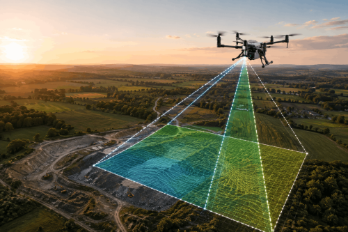
This is often where drone mapping in the UK earns its keep most, well before a single excavator turns up on site. Aerial imagery and survey data captured early can be turned into orthomosaics, elevation models, point clouds, and 3D site representations, giving teams a genuinely accurate picture of existing conditions rather than a rough one. Typical uses at this stage:
- Site feasibility reviews.
- Earthworks planning.
- Cut-and-fill calculations.
- Utility coordination.
- Drainage and access planning.
- Baseline records before construction starts.
A properly planned survey gives everyone on the project the same shared spatial reference before design decisions, excavation, or enabling works get underway. It’s worth confirming ground control, coordinate systems, accuracy requirements, and deliverable formats with your provider before they fly, especially if the outputs need to slot into CAD, BIM, or GIS workflows further down the line.
Improve Construction Decisions With Drone Asset Inspections
2. Roof, Facade, and Building Condition Inspections
Drone roof inspection in UK work means nobody has to climb onto a fragile roof, scaffold, or piece of access equipment just to get a first look. Drones can capture detailed imagery from multiple angles across pretty much any building type:
- Residential blocks.
- Commercial buildings.
- Industrial warehouses.
- Schools and universities.
- Historic and listed buildings.
- Hospitals and public buildings.
These inspections regularly pick up cracked coverings, damaged flashing, blocked drainage, water ingress, loose cladding, corrosion, and impact damage, often before any of it becomes a bigger problem. Getting this record done before scaffolding goes up or refurbishment starts is useful for defect tracking, warranty discussions, insurance claims, and handover documentation.
3. High-Accuracy Terrain Data with Drone LiDAR
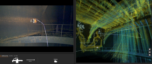
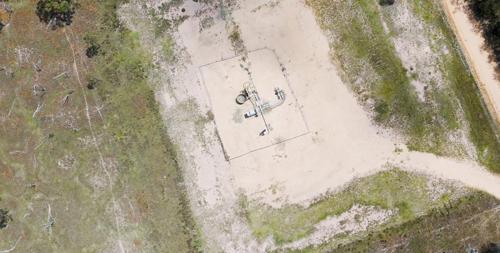
Drone LiDAR in UK projects does a different job to visual mapping, and it fills a gap that aerial photography simply can’t. LiDAR uses laser measurement to capture elevation and terrain data to engineering-grade accuracy. It tends to suit:
- Utility routes.
- Highways and rail corridors.
- Quarries and earthworks sites.
- Large infrastructure projects.
- Sites with dense vegetation or complex terrain.
Photogrammetry handles visible surfaces and stockpile measurement well enough. LiDAR comes into its own where you need terrain accuracy beneath vegetation, fine corridor detail, or precise elevation readings. Getting this choice wrong at the start of a project tends to cause delays that are expensive to unwind later.
4. Construction Progress Monitoring (H3)
Aerial photography in UK’s construction gives project managers and stakeholders a consistent view of how a site is actually progressing, rather than a snapshot of one corner of it. Ground-level photos only ever show isolated areas. Drone imagery covers the whole site from the same viewpoints each time, so comparing progress week to week or against a milestone is straightforward. Teams typically use this for:
- Programme reviews.
- Contractor coordination.
- Weekly or monthly reporting.
- Client and investor updates.
- Planning compliance records.
- Dispute support and historical documentation.
The trick is consistency: same flight paths, same intervals, which turns a pile of aerial photos into a proper project timeline. That makes it much easier to see what’s changed, stalled, and where attention needs to go next.
5. Infrastructure and Structural Asset Inspections
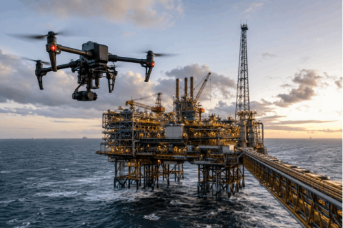
A lot of construction and infrastructure assets are awkward, disruptive, or simply unsafe to inspect by hand. Drones can carry out visual inspections of bridges, retaining walls, steelwork, towers, cranes, utilities, industrial facilities, and water treatment assets. Common findings include surface cracking, corrosion, water ingress, concrete deterioration, loose components, movement indicators, and damaged fixings or coverings.
None of this replaces engineering judgement. It works best alongside it, cross-referenced with maintenance history, drawings, and site context. For asset owners, it builds up a practical inspection record that feeds into maintenance planning, repair priorities, and future monitoring.
6. Health, Safety, and Compliance Documentation
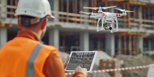
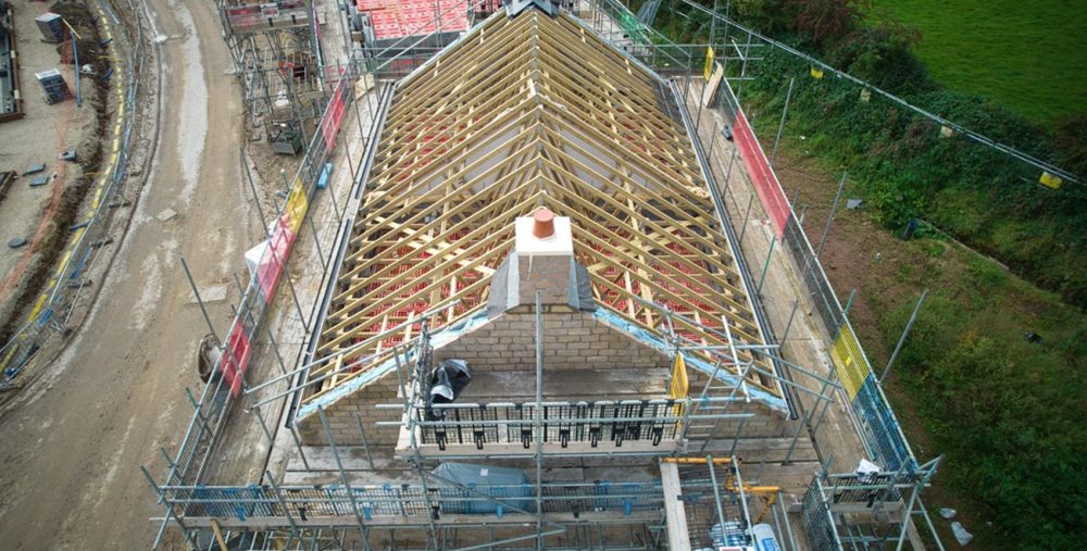
Cutting unnecessary exposure to risk is probably the strongest practical case for drone inspection on a UK construction site. Drones can inspect roofs, facades, temporary works, steep terrain, and elevated structures while keeping crews on the ground wherever that’s possible. This covers:
- Site safety audits.
- Hazard identification.
- Temporary works reviews.
- Environmental monitoring.
- Visual compliance records.
- Work-at-height risk reduction.
The UK Civil Aviation Authority requires operators flying drones commercially to register where required, make sure remote pilots hold the right competency, carry suitable insurance, and obtain whatever operational authorisation the category of flight calls for. On an active site, that means drone work needs to be planned around existing safety procedures, airspace checks, pedestrian routes, and the wider construction programme, not bolted on as an afterthought.
7. Digital Twins and Lifecycle Asset Management
Drone inspection data gets a lot more useful once it outlives the construction phase itself.
A structured record taken at handover can feed into BIM verification, digital twin creation, maintenance planning, and future refurbishment work. At this stage, the data typically supports:
- Asset registers.
- Refurbishment planning.
- Handover documentation.
- BIM and digital twin updates.
- Future condition comparisons.
- Planned maintenance schedules.
Treat it as a one-off inspection and most of that value disappears. Collected consistently and stored in a format asset managers can actually open and use, it becomes part of the building’s long-term record rather than a file nobody looks at again after practical completion.
Make Better Decisions With Professional Drone Inspections
What to Check Before Hiring a Drone Inspection Provider
Flying a drone well is the easy part. The real value sits in how accurate, usable, and compliant the resulting data is. Before appointing anyone, it’s worth asking:
- Are they operating in line with current CAA requirements?
- Do they carry suitable insurance for non-recreational drone work?
- Do they understand construction workflows, or only aerial photography?
- How will repeat inspections be planned so the data stays comparable over time?
- What pilot competency and operational authorisations does this particular site need?
- Will you get imagery, reports, orthomosaics, point clouds, CAD files, BIM-ready data, or GIS layers, or just photos?
- Can the outputs integrate with Revit, Civil 3D, AutoCAD, GIS, or your project management platform?
A provider worth using will help define deliverables before they ever mobilise. That’s what stops you ending up with technically decent drone data in a format nobody on the project can actually work with.
Conclusion
Drone asset inspection in the UK construction has moved well past being a novelty add-on to site practice. It now underpins safer inspections, sharper progress reporting, and better-documented projects across planning, construction, and long-term asset management.
The best results tend to come from planning drone work around the project’s real decisions: what needs measuring, who’s going to use the data, what format they need it in, and how often the site should be monitored.
AUAV UK brings together drone asset inspection, drone mapping, drone LiDAR, drone roof inspection, and aerial photography to help construction and infrastructure teams capture accurate, usable data from the first survey right through to handover and beyond.
FAQs
How accurate is drone mapping for construction projects?
Drone mapping in UK construction can be highly accurate when it’s planned and processed properly. Accuracy comes down to flight planning, ground control placement, sensor quality, processing method, and the output format requested, all of which need confirming before capture, not after the data’s already in hand.
Can drone inspections take place while construction work continues?
Usually, yes. Most drone inspections can run with minimal disruption to ongoing work, but they still need to be coordinated around site safety procedures, people movement, cranes, temporary works, and any local airspace restrictions. Sorting this out with the site team in advance saves a wasted trip.
Is drone LiDAR better than standard drone mapping?
Not always, it depends on the job. Drone LiDAR in UK work is strongest for dense vegetation, complex terrain, and high-accuracy elevation modelling. Standard drone mapping is usually the better fit for visual documentation, orthomosaics, progress records, and general measurement. The right choice comes down to what the data needs to do, not which technology sounds more impressive.
How often should construction sites be inspected by drone?
It depends on project size, risk level, and reporting needs. Plenty of projects get by on monthly surveys or milestone-based inspections, while larger infrastructure schemes often benefit from weekly monitoring, particularly during earthworks or structural phases when conditions can shift quickly.
What should a drone inspection report include?
A good report includes clear imagery, location references, inspection notes, any issues found, recommended next steps, and supporting outputs such as orthomosaics, point clouds, 3D models, or CAD-compatible files, whatever format the engineering, maintenance, or asset management team actually needs to act on it.