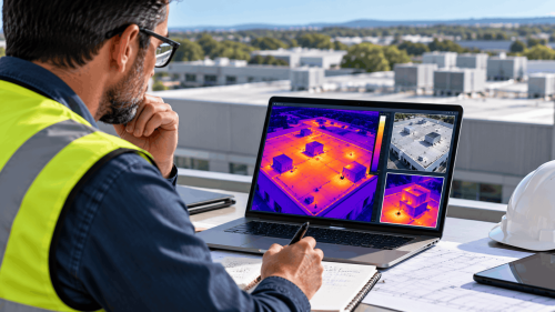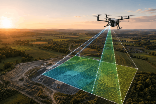
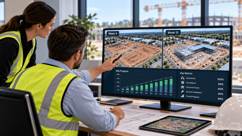
Drone construction progress monitoring uses repeat aerial surveys to document site conditions and changes over time. Consistent imagery, mapping and 3D models help UK construction teams review completed work, communicate progress and investigate discrepancies.
Construction managers need to know what has changed on site, whether work aligns with the programme and which issues need attention.
Ground-level photographs provide useful detail, but they rarely show the entire development.
Drone construction progress monitoring gives project teams a broader visual record that can be compared across reporting periods.
What Is Drone Construction Progress Monitoring?
Construction drone monitoring involves capturing aerial data at planned intervals throughout a project.
Depending on the required outputs, this may include photographs, orthomosaic maps, elevation models and 3D site representations.
Typical applications include
- Recording site conditions before construction.
- Comparing work across project milestones.
- Monitoring earthworks and site development.
- Documenting completed structural activities.
- Supporting client and stakeholder updates.
- The value comes from collecting comparable information, not simply taking aerial photographs.
How Do Repeat Drone Surveys Improve Site Reporting?
1. Create a Consistent Visual Record
Using comparable flight paths, camera positions and survey methods makes it easier to review changes between visits.
Dated imagery provides a useful historical reference when discussing site progress.
2. Compare Physical Progress with Project Milestones
Drone progress surveys help teams examine completed work against planned activities.
For example, aerial imagery can show changes in access roads, excavation areas, material storage and building footprints.
However, imagery alone cannot confirm every contractual milestone or construction quality requirement.
3. Improve Communication Between Project Teams
Project managers, consultants and clients can review the same visual evidence without relying entirely on separate site photographs.
This is particularly useful for large developments involving multiple contractors.
When Is 3D Mapping Useful for Construction Monitoring?
Drone 3D mapping creates spatial representations of surveyed site features.
Where suitable control and processing methods are used, these datasets can support:
- Earthwork volume comparisons.
- Changes in terrain levels.
- Stockpile measurement.
- Site layout reviews.
- Engineering coordination.
- For quantity calculations, survey accuracy, design references and calculation boundaries must be established.
A visual 3D model should not automatically be treated as a verified engineering survey.
How Often Should Construction Sites Be Surveyed?
There is no universal monitoring frequency.
Weekly capture may suit rapidly changing construction activities, while monthly or milestone-based surveys may be appropriate for other projects.
The reporting schedule should reflect:
- Construction programme and milestones.
- Site size and complexity.
- Earthwork and structural activity.
- Client reporting requirements.
- Budget and operational constraints.
Consistent methods are especially important when comparing survey datasets over time.
What Should a Drone Construction Progress Report Include?
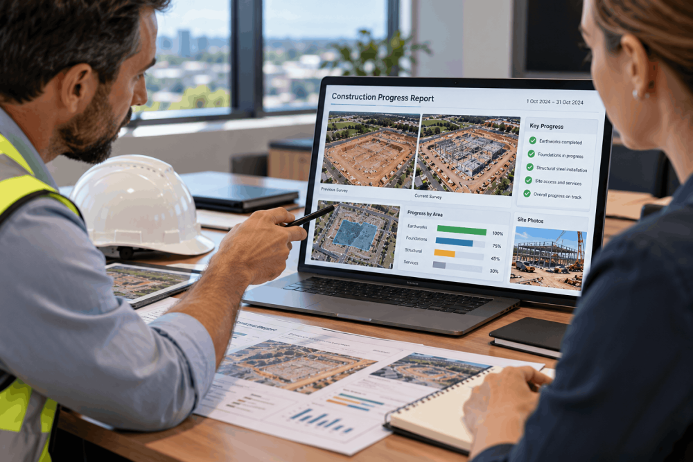
A useful construction progress report connects imagery to decisions.
Depending on the project scope, deliverables may include:
- Dated aerial photographs and orthomosaics.
- Annotated site changes.
- Comparison imagery from previous visits.
- 3D models or elevation data.
- Survey coverage and limitations.
- Links to project milestones or work packages.
AUAV UK’s Aerial Survey & Mapping service supports construction monitoring and geospatial data collection.
What Should UK Contractors Check Before Commissioning Drone Monitoring?
Before arranging construction drone surveys, confirm the site boundaries, reporting frequency, required accuracy and deliverable formats.
Flight planning must also consider cranes, temporary structures, site personnel and restricted airspace.
In the UK, drone operations must comply with applicable Civil Aviation Authority rules. More complex flights may require Specific Category operational authorisation.
Coordinate flights with the principal contractor and site management team to avoid conflicts with active construction operations.
Improve Construction Reporting with AUAV UK
Reliable progress monitoring depends on consistent data capture, clear reporting and outputs suited to the project team.
AUAV UK provides aerial mapping, drone surveying and asset inspection services for construction and infrastructure applications.
Need repeatable aerial progress records for a construction project? Contact AUAV UK to discuss your site, reporting intervals and data requirements.
Frequently Asked Questions
How accurate is drone construction progress monitoring?
Drone construction progress monitoring accuracy depends on the sensor, flight planning, survey control and processing methods. Visual reporting and engineering measurements have different requirements, so suitable accuracy specifications should be agreed beforehand.
Can drone surveys be used to verify construction milestones?
Drone progress surveys can provide visual evidence of completed activities and site changes. However, formal milestone verification may also require measurements, quality records, contractual documentation and review by authorised project personnel.
How often should drone monitor a construction site?
Construction drone monitoring frequency depends on project activity, reporting requirements and budget. Weekly, monthly or milestone-based surveys may be appropriate, provided the capture schedule supports meaningful comparisons and timely decisions.
4. Can drone mapping support earthwork volume calculations?
Yes. Drone mapping for construction can generate terrain models for comparing earthwork volumes. Reliable calculations require suitable survey control, accurate surface data, defined boundaries and consistent measurement methods across reporting periods.
What should contractors provide before requesting a drone progress survey?
A drone construction survey provider typically needs site location, boundaries, programme milestones, access arrangements, required outputs and reporting frequency. Existing survey control and site safety restrictions also help define the scope.